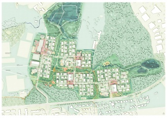
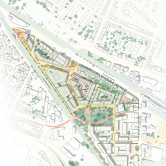
The focus of our project is, on one hand, the careful urban integration of approximately 43,000 m2 GFA (realization part) and 10,000 m2 GFA (conceptual part) of dense housing into the existing morphological and ecological context, taking into account imposed restrictions and desires. On the other hand, the identity of our project arises from intense coordination and integration of urban planning, architecture, ecology, and landscape design.
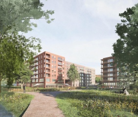
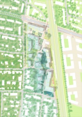
Characteristic of the existing urban structure of the broader surroundings of the competition area is the loose construction with small and medium-sized structures. In contrast to this morphology, the future urban fabric east of the railway track is planned as an urban densified perimeter block structure (Munich Northeast Ideas Competition). Our project establishes a context-related connection to these two different spatial conditions while simultaneously creating its own strong local identity.
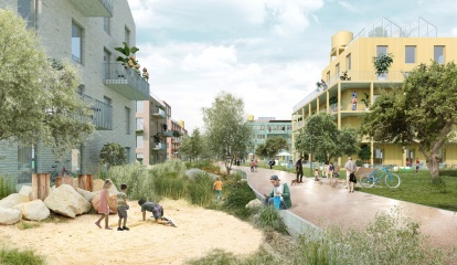
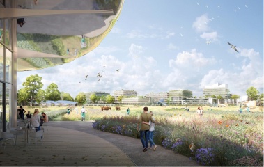
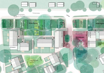
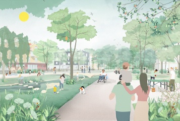
To achieve this, our design is structured into overlapping levels of order, creating differentiated and precise spatial relationships: The construction structure is divided into four typologies. In the west along Marienburger Strasse, the existing structure of rowed, rhythmically offset, small-scale buildings is appropriately complemented to ensure spatial permeability. This is followed by a loose sequence running north-south of individual building volumes (urban villas) increasing in mass and height, set in a landscape park-like arrangement. A third row consists of elongated structures on the east and north sides, which are more monolithic and taller in the northern part, gradually transitioning to a sequence of architectural individual units towards the south.